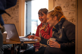
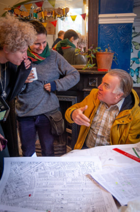
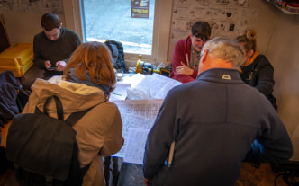
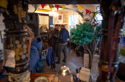
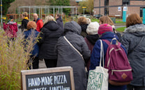
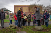
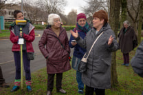
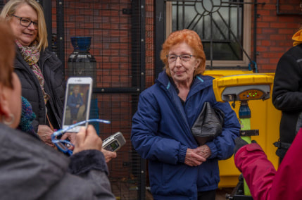
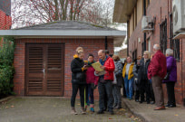
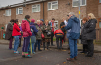
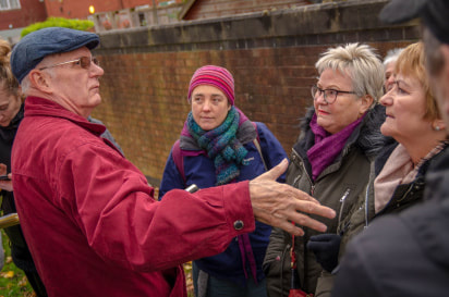
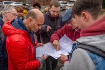
On Saturday the 23rd of November I took part in the Greenheys Community History Day, an event based at the Old Abbey Taphouse pub in the Science Park, just behind the university. This area, known as Greenheys, has an interesting history, from being in the 1860s a desirable parkland location for wealthy residents, it transitioned into a densely populated area full of worker terraced housing. This transition process started in the late 1800s and the area changed again in the 1970s with the demolition of all that terraced housing, which were of course also family homes. The Old Abbey Taphouse was built in the 1890s and is one of the few original buildings from the worker housing period left standing in the area. My friend, Rachele Evaroa, is the current landlord of this pub and instrumental in connecting with, and bringing together some of the original pre-1970s residents for the community day.
As archaeology technician I have access to both equipment, and to students who want to get experience with that equipment. As a Manchester graduate myself I also have connections with colleagues now working within the commercial archaeology sector. Dr Irene Garcia Rovira is one such colleague, Project Manager at Archaeology England and actually based within the Science Park. At a meeting with past residents it became clear that they wanted to tell their stories about life in Greenheys, and it occurred to Irene and myself that we may be able to facilitate that process.
Some archaeological background: Digimap is an electronic mapping service provided by Ordnance Survey. Archaeologists find it useful because it allows the identification of a point on a digital map, and will provide a grid reference. This point can then be traced on a series of digital maps back in time to the earliest 1840s edition. However, it is also possible to use Digimap the other way round, in this instance, find an old address on a pre-1970s map and identify its present grid reference. It should then be possible using a Global Positioning System (GPS) to locate that grid reference within the present day locale of the Science Park. Doing this would allow past residents to tell their stories whilst standing on the exact spot where the events took place. At least that was the theory! What follows is a short photo essay of how the day unfolded.
The day was an unmitigated success and we want to develop this collaborative approach further. My thanks to Kerry Pimblott, Kim Foale and Rachele for organising the event and accessing funding. Past residents Lyn, Liz and Kay who gave us the idea in the first place. Also Jana Wendler from Geography for help with the GPS, Jamie Dillon Farrington from History for compiling grid references, and Mary Begley from Linguistics for recording the oral histories as we went around. Jenna Bowyer took these lovely photographs and finally, Bob Hindley for his insights into Building Survey process, but that is another part of the story!
Words by John Pipani

